Why 20 Volunteers Traded a Snow Day for a School Day
“We want more downhill!”
That’s what a group of kids shouted to Leah Mancabelli, IMBA Trail Solutions Project Manager, and Maeve Nevins-Lavtar, Park Planning & Development Manager for the City of Sandpoint, ID, during Leah’s initial site visit to Sandpoint, Idaho, to work on the Little Sand Creek Watershed Recreation Master Plan. “They are so hungry for more advanced terrain,” said Maeve. The balance bike-saddled kids were doing laps on the lower basin trails as the duo rode uphill just past them. In just a few years, those same kids will be ready for bigger terrain and racing opportunities. “...and Sandpoint doesn’t yet fully serve them with our current trail offerings,” Maeve added.
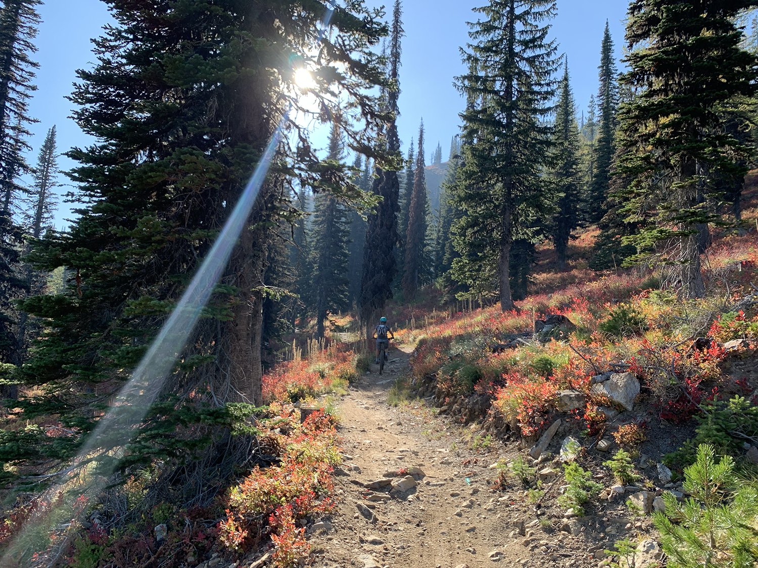
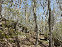
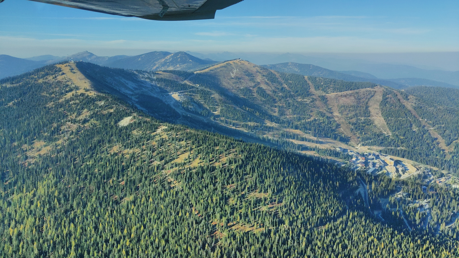
Sandpoint, ID is a true treasure of a community, boasting rich historical character and drivers that stop at crosswalks and wave when cyclists or pedestrians cross. “It’s authentically down to earth and full of humble people who have worked extremely hard for what they have. They value keeping the town’s character intact,” explained Maeve. And, it’s beautiful, to boot. Imagine steep terrain forested with hemlocks, firs and pines with a supporting understory of ferns, grasses, and snackable huckleberries all overlooking Lake Pend Oreille.
Sandpoint Trail History and Considerations
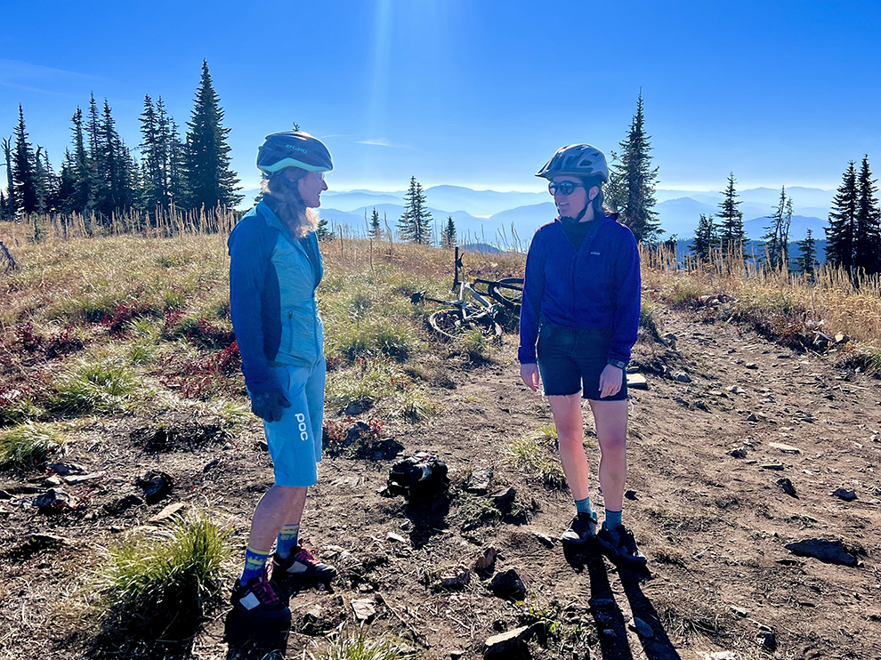
Part of that character is bolstering the growing, family-focused riding scene and creating a world-class recreation system for all users. “I’ve been riding in this area since 1989 and was one of the first members of the Pend Oreille Pedalers (POP),” said Julie Meyer, now President of POP and a 50-year resident of Sandpoint. “I remember when we had IMBA (Trail Care Crew) come and build trail with us in 2002 at Syringa Heights, now known as Sherwood Forest.” Syringa Trail System, Sandpoint’s “go-to” after-work zone, has an adjacent slice of land known as the “VTT (Velo Tout Terrain),” which has developed purpose-built, advanced technical flow lines thanks to the efforts of Julie, POP, the Kanisku Land Trust, and Sandpoint Nordic Club. Syringa Heights, being shared use, has seen an uptick in usage over the past few years. The VTT has become where coaches take their next-level riders for laps as the youth cycling scene has grown.
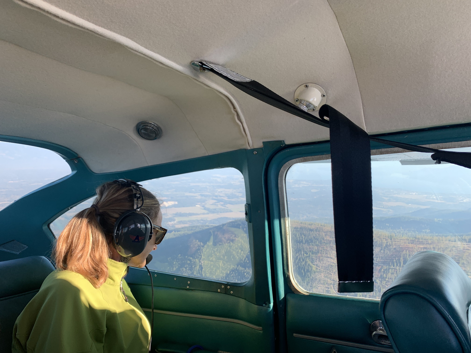
“Sandpoint is experiencing something that many rural or gateway communities with great access to public lands are currently struggling with: how to maintain community character and its unique local vibe as it attracts new interest from people wanting to experience the outdoors,” said Betsy Byrne, who works for the National Park Service as part of the Rivers, Trails, and Conservation Assistance Program.
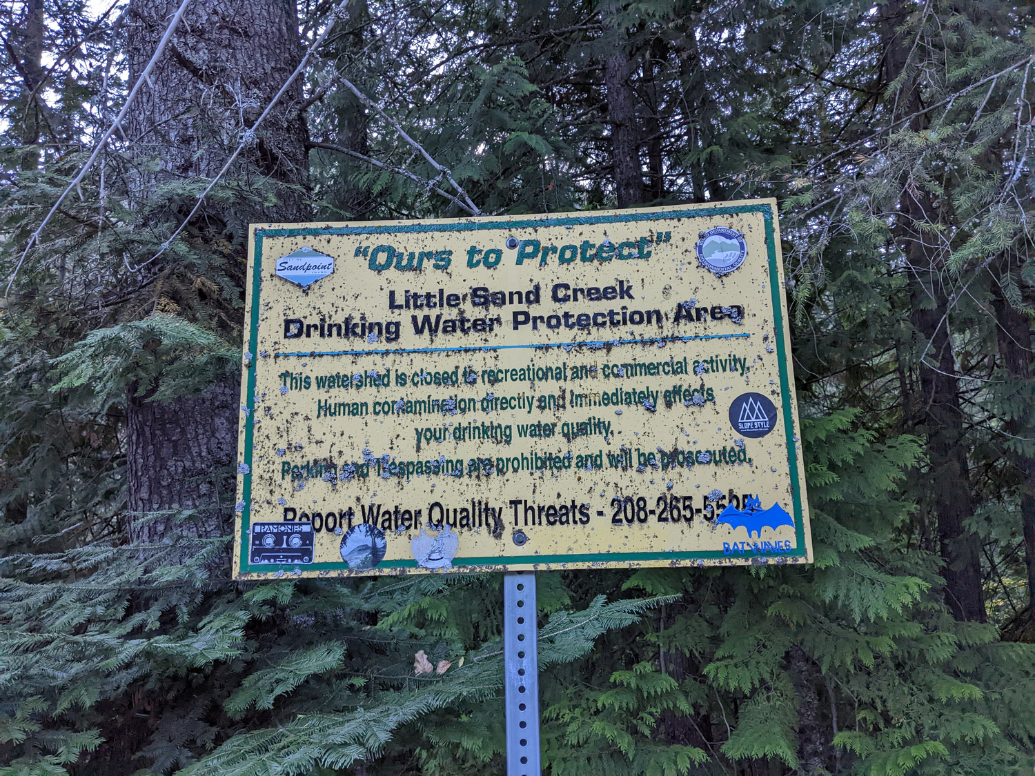
A need for more sustainably built trails was coming into focus as a necessity for the community to continue growing and progressing. The critical area that will provide more trails with close-to-home riding opportunities for those kids shouting for more downhill and beyond is the Little Sand Creek Watershed – the primary source of good quality drinking water for Sandpoint. “The number one priority is to protect the water quality in this watershed,” added Betsy.
City and Citizens Working Together & Funding For Extra Hands
“Prior to the city creating my position, there hadn’t been anyone with trail and landscape architecture experience on staff, so there wasn’t a process for managing the existing trails other than to provide support to the local bike advocacy group (POP),” said Maeve. The Mayor of Sandpoint was interested in expanding the existing trail system into the watershed over a decade ago. However, the city didn’t legally allow recreational use of the property.
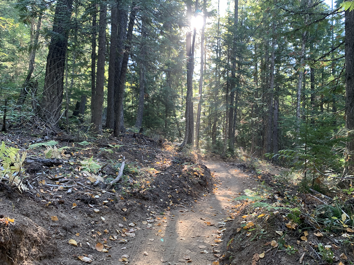
Recently, the administration and Mayor have passed a policy to allow all human-powered recreation in the watershed, a delicate decision many municipalities struggle with considering. “Over 90% of the Little Sand Creek Watershed is held by local, state, or federal agencies - the majority of which the City of Sandpoint owns,” explained Leah. Given that many places in the West have drinking water that collects across privately held lands, this gives Sandpoint a unique position. “They can control their own destiny when it comes to the quality of their drinking water and the access of that land to the public,” said Leah.
Maeve knew she’d need an extra set of experienced eyes on the project to ensure its success. In a previous position, she gained experience working with the National Park Service – Rivers, Trails, and Conservation Assistance program (NPS-RTCA) on recreation projects with their unique assistance grant. “It essentially doubles my work capacity by providing technical assistance, and in our case, the person assigned to this project also happens to be educated in landscape architecture,” explained Maeve.
From day one, Betsy Byrne (the project’s co-manager) and Maeve were in sync and have been tackling the master plan with ease together. “NPS-RTCA supports locally-led conservation and outdoor recreation projects. We work with communities on their ideas for trails (on land or water), river or boat access, habitat conservation, turning vacant fields into community parks or gardens, or other kinds of outdoor recreation or conservation projects – it just depends on the community’s vision and goals,” said Betsy.
To learn more about the RCTA program and how to apply for assistance:
Looking at trails; considering the environment
Maeve and Betsy made strides working on the master plan and knew they’d need some mountain biking-specific expertise. Enter IMBA Trail Solutions. Together they have conducted community listening exercises, taken inventory of existing trails, and considered challenges that the community may face – all carefully considered as the team completes the plan. Having the IMBA Trail Solutions team work with Betsy and Maeve has helped with zooming out to see how a plan like this will affect the environment.
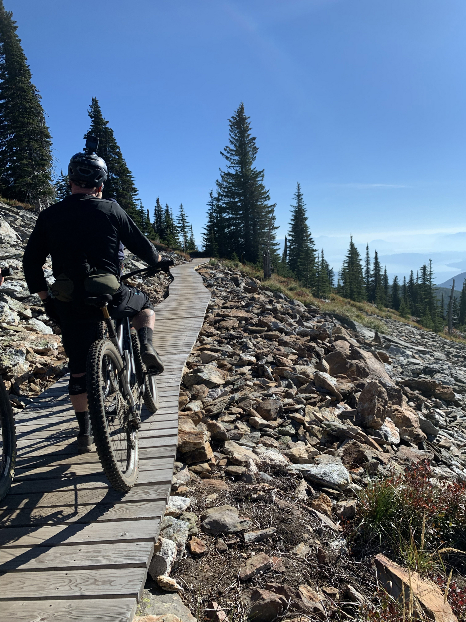
“It has been great working with IMBA as Leah, Mike, and Wes take the lead on analyzing the trail system and developing recommendations for trails and trailheads. Since they are taking a close look at the trail system, Maeve and I can work on the bigger picture of the recreation master plan. This includes stepping back and taking a holistic view of the watershed and everything we need to take into account beyond the trails, from wildlife and habitat to educational opportunities to coordinating with the other landowners in the watershed,” said Betsy.
Future and Next Steps
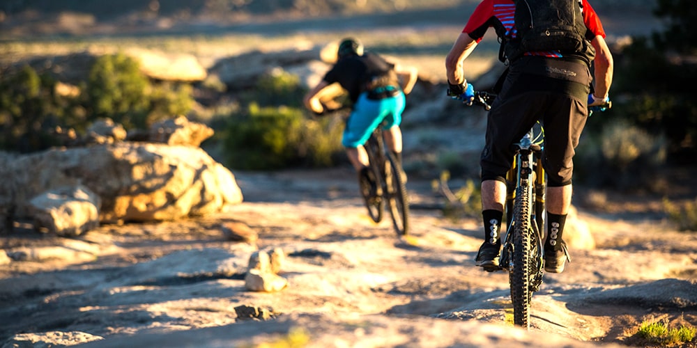
As the community continues to push forward for more downhill flow, an asphalt pumptrack in town and singletrack that connects all the in-town neighborhoods to the Syringa Trail System and the Little Sand Creek Watershed, Maeve, Betsy and Julie are all focused on a familiar goal: increased biking opportunities and access to nature that also protects the natural resources.
“Access to the woods is an easy way to experience this area’s natural beauty, for all walks of life,” said Julie, “Growth will always happen. Through trail we create a balance to that growth and place value on our natural spaces now and for the future.”
“Recreation, habitat, and watershed conservation can coexist,” added Betsy. Through careful planning and partnership, it is possible to create a system that addresses all goals.
For Maeve, it’s simply about getting more people on bikes. “By encouraging more people to get on their bikes, we can help foster land stewards and open up more equitable opportunties for exploring our public lands.”
