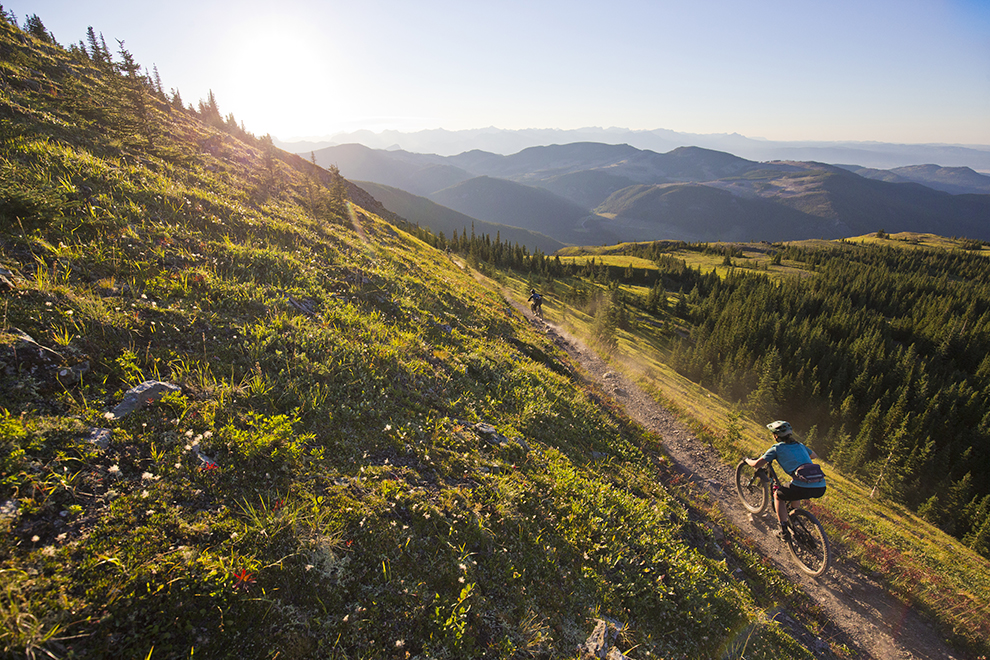
We create, enhance and protect
great places to ride mountain bikes.
Our focus is on more trails close to home.
By 2025, we aim to partner with 250 new communities for more great local trails.

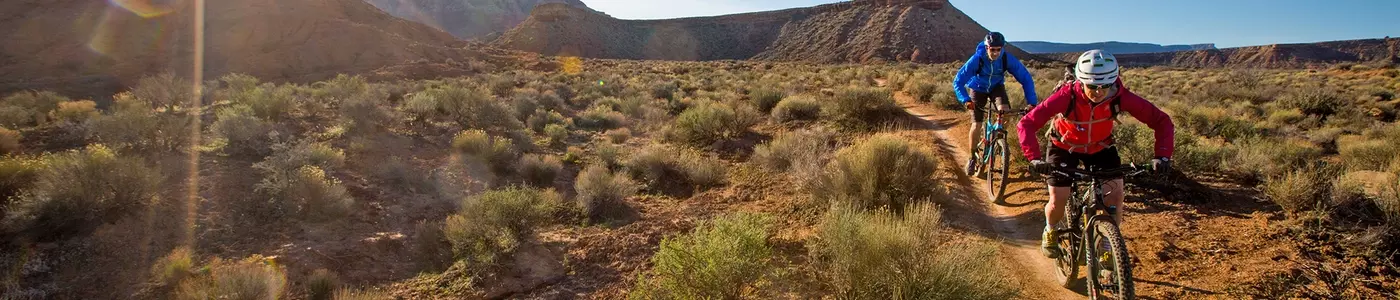
More Trails Close to Home
Whether you're looking to create, enhance or protect local trails, partnering with IMBA on your projects will add decades of international experience in trail advocacy, education, solutions and stewardship. Let's get to work.
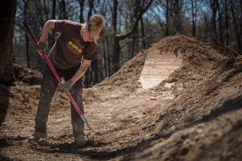
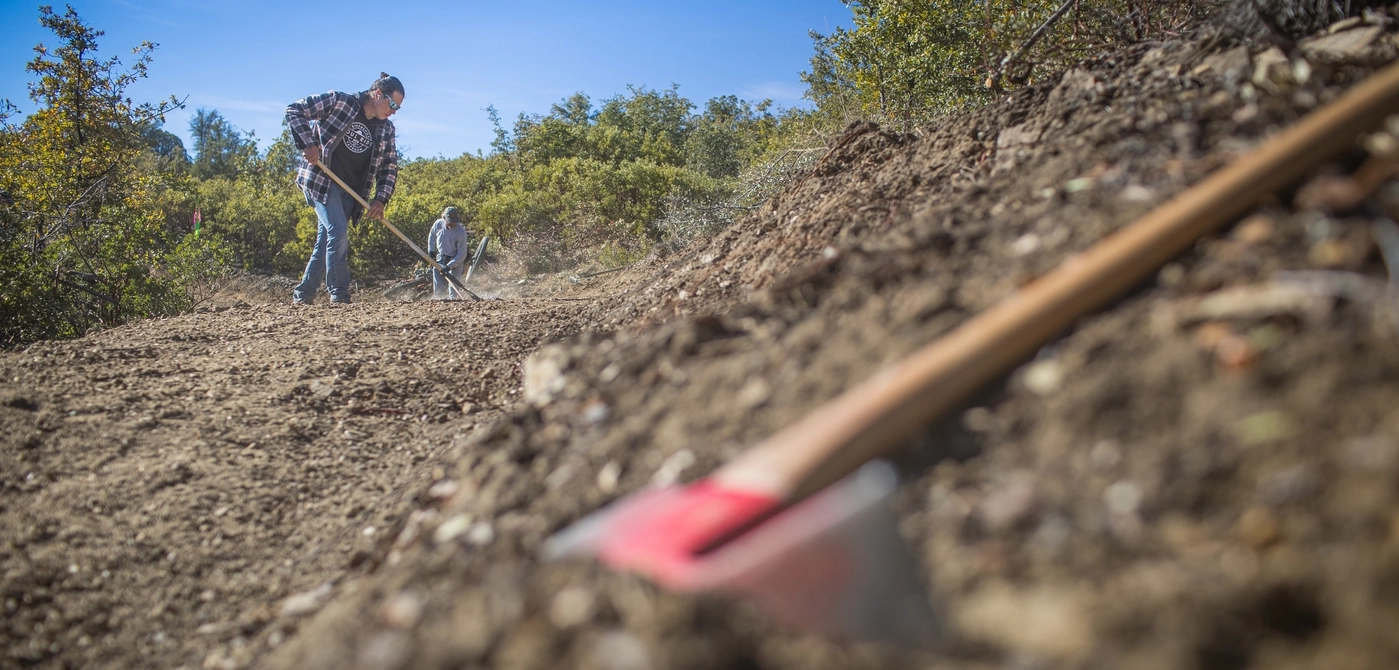
IMBA Trail Solutions
Partner with IMBA professionals to assess, plan, design, and build your trail vision.
Let's Talk Trails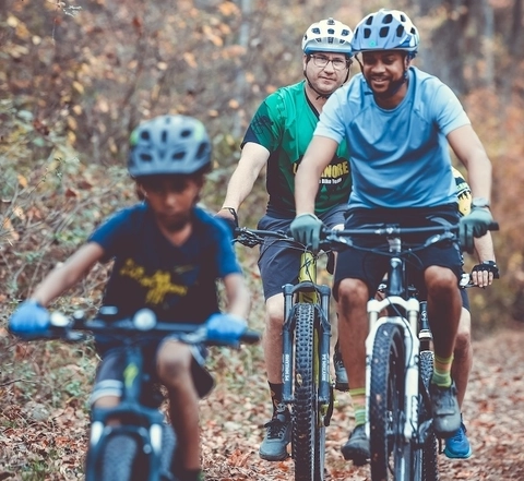
Find Your IMBA Local Member Org
Great rides start with IMBA Local. Find your local membership organization.
Find your group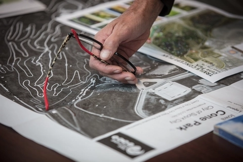
Trail Development Tips
IMBA's online resources offer free, easy-to-access information for trail champions.
Resource Hub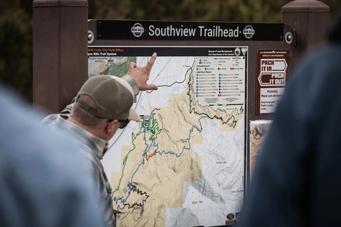
Programs & Workshops
Learn more about IMBA's educational offerings, professional trail programs, advocacy tools, and trail fundraisers.
Support for your Trails
Become a Local Member Org
IMBA Local is a grassroots network of local trail organizations that helps create and sustain thriving trail communities.
Local Options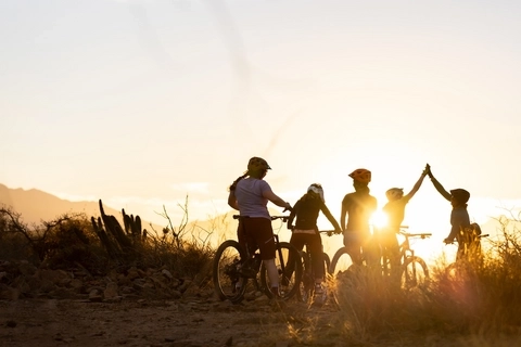
More and Better Trails
Learn about the trail development process, from setting the initial community vision to ongoing trail stewardship.
Trail GuideSign up to keep up !
Mountain biking news delivered to your inbox

IMBA is the best organization to make more trails close to home happen. They have helped build many of the local mountain bike groups in several areas of the U.S. They have a trail building organization and the know-how to promote trails beyond just creating them. If IMBA gets support from people all over the country, they can make more trails close to home happen.
Ximena Florez
Prescott Mountain Bike Alliance Board President
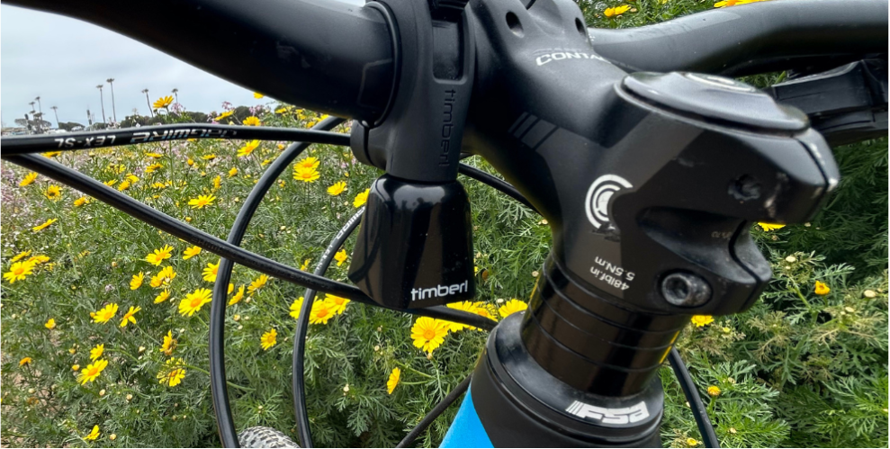
Rad Tools for Responsible Riding: A Story About a Bell
Read story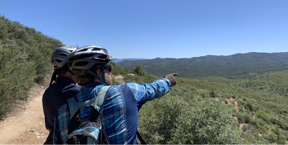
Prescott's Bean Peaks Gravity Flow Trail System Gets Go Ahead from U.S. Forest Service
Read story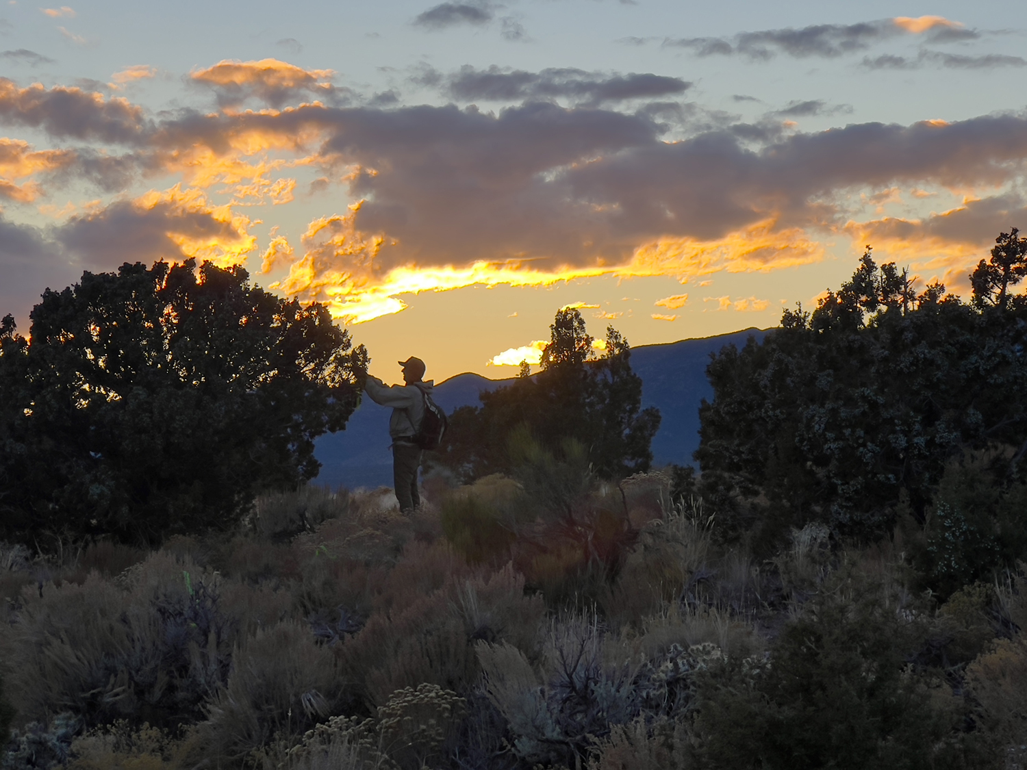
Mountain Bike Friendly Land Designations for Advocates
Read story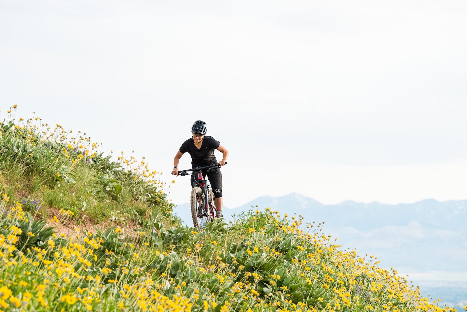
Lifeline, Shoreline Film Advocates to Complete Utah’s Bonneville Shoreline Trail
Read storyFeatured Supporters
IMBA thanks its highest-level contributors for their support.